Transpolar Mainline
Since 2019, the Russian Geographical Society has been exploring the area around the Arctic Circle to determine the route of a new railway line through the Yamalo-Nenets Okrug and Krasnoyarsk Krai.
The unique expedition turns to the past in the interests of the future – the effective development of the connectivity of Siberia with the European part of Russia.
The construction of the Korotchaevo–Igarka–Norilsk railway began in 1949. According to the plan, the railway track was to cross the rivers Pur, Taz, Turukhan, and Yenisei, climb north to Igarka, and reach Norilsk.
The necessity of the railway was explained by economic and geopolitical reasons. The creation of a transport corridor was supposed to facilitate the development of the northern territories rich in minerals. The railway was being built by the prisoners and freelance workers under the leadership of the Main Camp Administration of Railway Construction of the USSR, and in this section was named "Construction No. 503". After Stalin's death in 1953, the construction was stopped, the constructed sections of the railway quickly became dilapidated.
The purpose of the current expedition was formulated by the President of the Russian Geographical Society Sergei Shoigu in 2019: "We would like to study the old project in more detail, perhaps, with the prospect of reviving it for our country, for the development of Siberia."
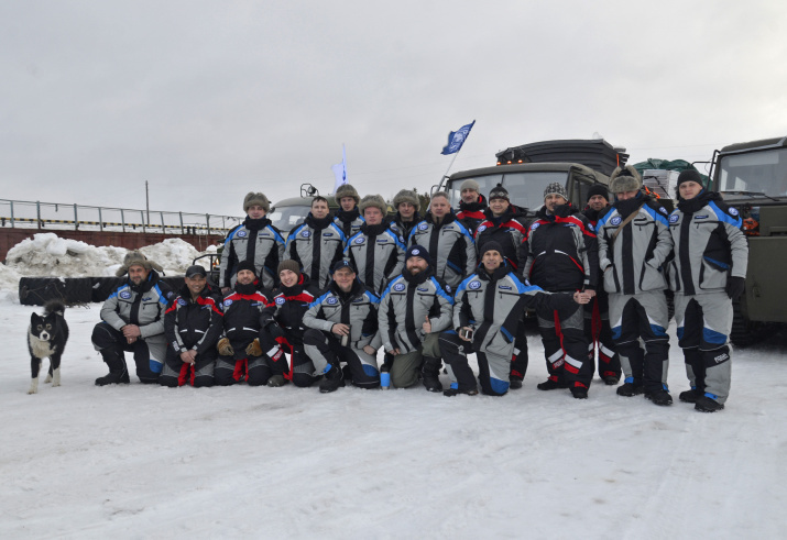
The recent history of the large-scale logistics project began with an expedition the participants of which were the experts from the RGS, the Expeditionary Center of the Ministry of Defense of Russia, the Russian University of Transport, the Military Topographical Directorate of the General Staff of the Armed Forces of the Russian Federation, and the Russian Center for Arctic Exploration.
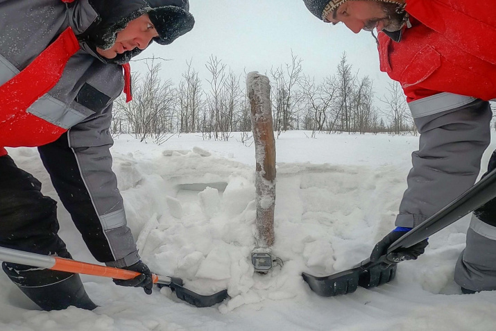
The first, reconnaissance, stage of the expedition took place in March–April 2019. In October of the same year, the main stage of the expedition began, which continues to this day. During the first trip of the main stage, the expedition team installed 21 geothermal monitoring devices to collect data on changes in soil temperatures at different depths and took soil samples for laboratory analysis. In 2020 and 2021, the expedition teams took readings from monitoring devices and delivered them to scientists for analysis. These readings and the results of the analysis of the physical and mechanical characteristics of the soils allowed scientists to determine the most stable sections of the studied area, along which it was proposed to lay a railway track.
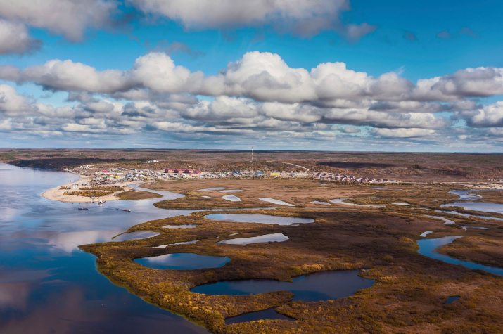
“On the map, the area of the expedition looks like a right triangle, the corners of which are Urengoy, Turukhansk, and Norilsk,” said Sergey Chechulin, head of the Expeditionary Department of the Russian Geographical Society. “The length of each leg, southern and eastern, exceeds 400 km, the hypotenuse stretches for almost 600 km. Approximately in the center of the triangle is the Arctic circle, which gave the expedition its sonorous name.”
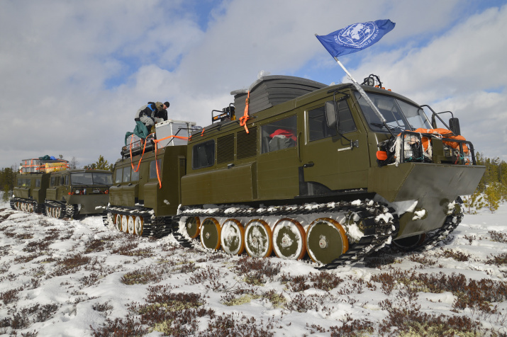
There are almost no highways in the surveyed area near the Arctic Circle. In order to use winter roads connecting oil and gas fields, most of the research was carried out in the cold season. The expedition participants traveled 3,800 km, of which 3,000 km were covered on snowmobiles. Their routes rarely ran through few ice roads; for the most part they were travelling in conditions close to extreme – on virgin snow, ice of the Turukhan and the Yenisei Rivers. They also crossed mountain ranges – for example, between Snezhnogorsk and Norilsk. The temperature during the main stage of the expedition ranged from -45°C to +5°C.
Thanks to the RGS expedition, scientists currently have several years’ worth of data from the monitoring devices on the temperature of the soil and atmosphere throughout the area of a possible railway track. A permanent monitoring system has been established, which allows to regularly monitor the dynamics of changes in the state of soils in an area of almost 80,000 km.
In addition, experts received samples of snow cover and air. This is necessary to understand the degree of anthropogenic impact on the Arctic nature in the area where the line may be possibly constructed. Based on the results of the research, the RGS specialists presented recommendations on possible routes of the railway line and on the features of its construction in various sections. The expert opinion will be taken into account when making a decision on constructing the polar railway.
The network of geothermal devices deployed by the Russian Geographical Society will allow to obtain unique data on the state of permafrost for several more years, which means that Russian science will receive new relevant information about how global warming affects the possibilities of developing the northern territories of our country. This scientific knowledge will become the basis for making decisions on the forms and methods of further socio-economic development of the Arctic zone of the Russian Federation.


